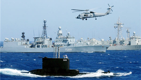
National Security Presidential Directive-41/Homeland Security Presidential Directive-13 establishes U.S. policy for enhancing our national security and protecting our interests in the maritime domain. Specifically, it directs that maritime domain awareness (MDA) efforts be undertaken "to develop an enhanced capability to identify threats to the maritime domain as early and as distant from our shores as possible by integrating intelligence, surveillance, observation, and navigation systems into a common operating picture accessible throughout the United States government.”
This proposal brings together members of the IMSSE for the willing exchange of maritime information in support of their own safety, security and commercial needs. The IMSSE should take on a revolving door approach that allows members to consume and/or provide maritime information. Structured in this way, an IMSSE will permit consumers and providers to realize the symbiotic relationship on which long-term global maritime commerce and security depends, in spite of differing self-interests.
One of the main ways to add significant situational awareness data to his proposed system would be to build, in collaboration with our international partners, a common operational picture on a global scale by combining terrestrial maritime surveillance systems with commercial and civilian space systems having significant earth and ocean observation capabilities. This capability would be distinct and totally separate from any classified undertakings either now underway or planned and would have the huge benefit of being able to be shared with all seafaring nations of the world.
Many people believe this undertaking is impossible from both technical and fiscal view points. However, the real possibility of using civilian satellites for persistent oceanic surveillance has come much more sharply into focus in the last several years. It was strengthened significantly by the successful completion of two wide-ranging tests.
The first included the identification and tracking of a range of vessels from the Mediterranean to the East Coast of the United States in the fall of 2006 using synthetic aperture radar (SAR) satellites coupled with new high resolution electro-optic and infrared (EO/IR) imaging satellites. The experiment used terrestrial AIS to positively identify the detected vessels. Since that test the successful launch and initiation of operations of several satellites that contained (AIS) receivers have greatly increased the capability to identify vessels on the open seas from space and further made the point that the unclassified detection and tracking of vessels from space is a reality.
One study reports that as of late 2006 there were 31 EO/IR imaging systems in orbit with an additional 27 planned. There were also four synthetic aperture radar (SAR) satellites in orbit with another nine planned. Indeed, it was reported at the Earth Observation Business Network 2008 (held in May 2008) that, with the launch of Canada’s RadarSat 2 in December 2007, there are now seven SAR satellites in orbit. That number is set to increase dramatically as well.
In addition, in the last 2 years almost a dozen different satellites have been launched with automatic identification system (AIS) receivers and an AIS receiver has been installed on the International Space Station. Some of these are now in direct support of at least two different SAR satellites. Indeed, it is the coupling of AIS via space with radar satellites, which can “see” in darkness and in light, as well as look through most cloud cover, and the new, higher resolution imaging satellites that makes the concept of “Collaboration in Space for International Global Maritime Awareness” (C-SIGMA) feasible. These new civilian space systems are not seen as replacing any existing terrestrial systems, such as the over-the-horizon radar or acoustic systems, but rather as a means to make those sorts of broad ocean surveillance systems significantly more effective. And, as noted above, they have the added advantage of being basically unclassified systems.
Across the centuries, mariners have come to take concealment from people on shore and their prying eyes for granted. Breaking that paradigm, which is an international mindset, may not be easy. However, the advent of terrestrial ship tracking systems such as the Maritime Safety and Security Information System (MSSIS) and the Virtual Regional Maritime Tracking Center(s) (VRMTC) as well as space-based AIS is dramatically increasing transparence at sea and owners and operators of vessels of any significant size will need to adjust to this new paradigm.
Additionally, the widespread belief that using satellite-based systems for persistent oceanic surveillance would take a significant, dedicated constellation of satellites, with each satellite costing many hundreds of millions (if not billions) of dollars, was also a major detractor. The multiple new space systems launched or planned to be launched in the next few years have put that believe in serious question. Many serious observers now believe that a collaboration of the space-faring nations of the world, in consortium with the sea-faring nations of the world, could build a highly useful unclassified Global Maritime Awareness System, with a totally shareable common operational picture. It would be the backbone of the proposed IMSSE.
Let’s get on with it.
George “Guy” Thomas is Science and Technology Advisor, United States Coast Guard. These views are his own and may not reflect U.S. Government policy. NATO photo.
Image: maritime-security-NATO.jpg
